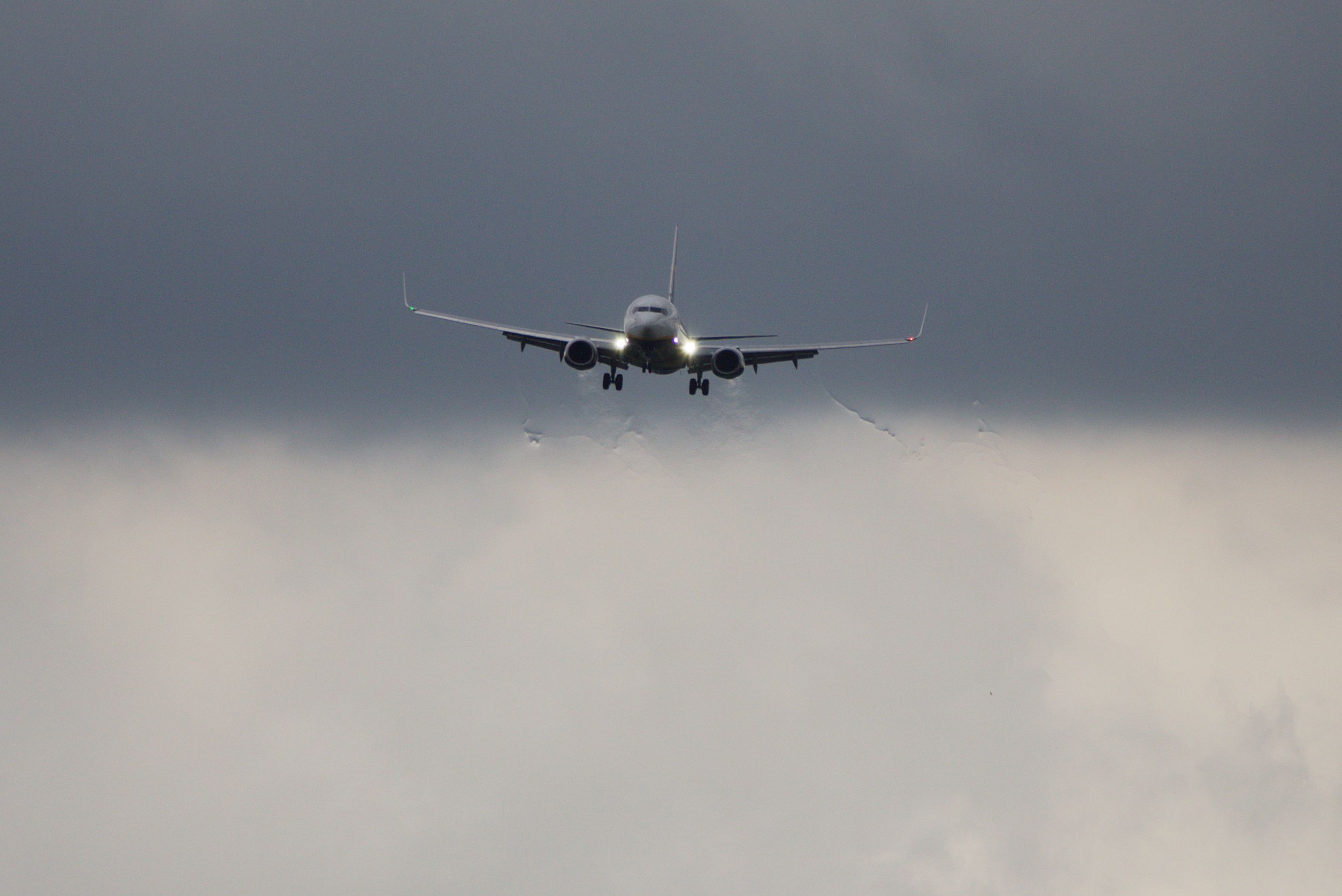
Turbulence, as in the violent and unsteady movement of air that can easily disturb flight, is a concern for aircrew and passengers alike – and Simple Flying has a basic explainer on turbulence if you are new to the issue. Few passengers like flying on a flight with the aircraft fighting to hold altitude and attitude against changing air conditions, especially to the point that it’s unsafe for flight attendants to provide in-flight services or for passengers to leave their seats to use the lavatory. So how do pilots know when turbulence is ahead to alert the cabin?
The need for turbulence warnings
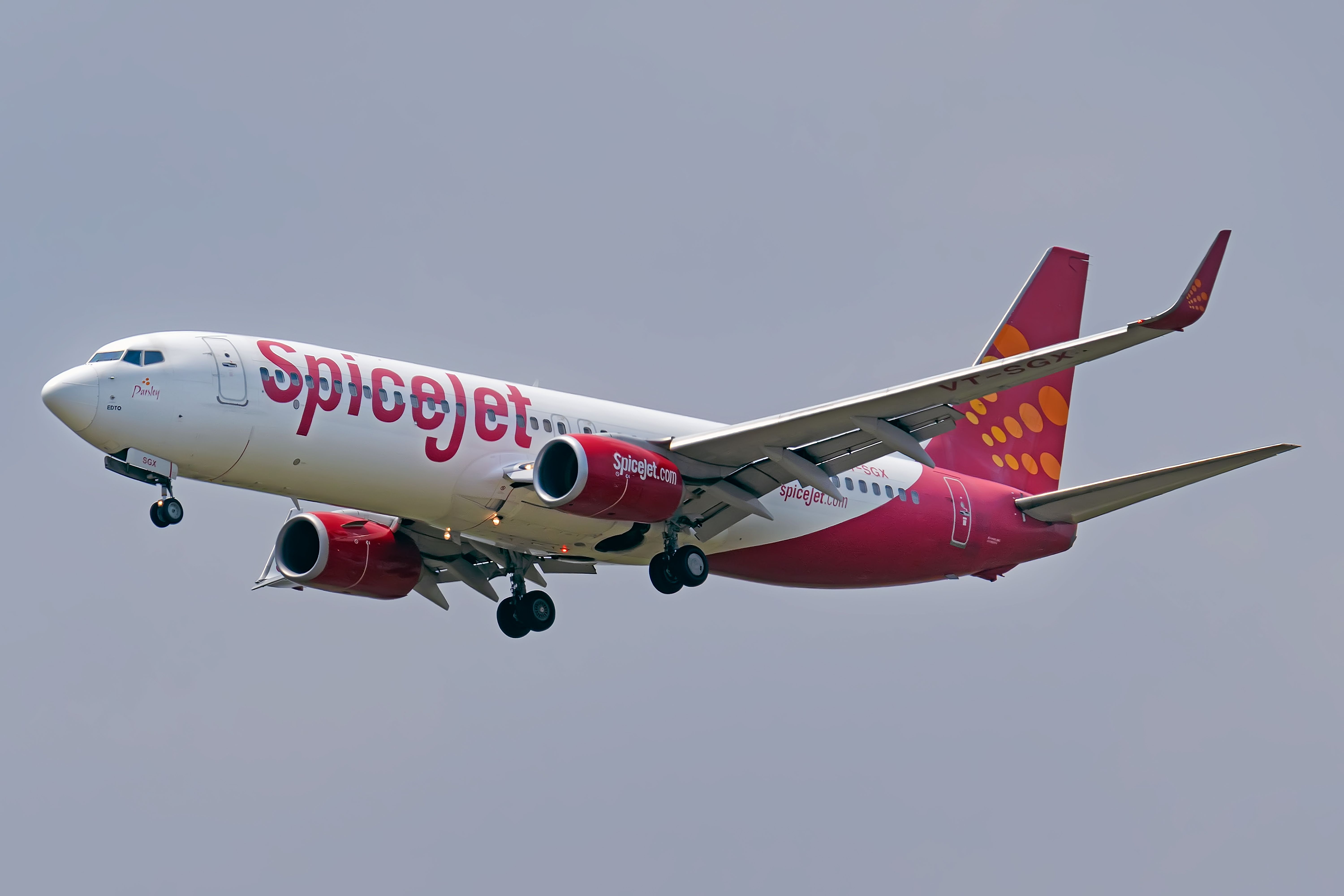
Flying into unexpected turbulence can cause injuries to unbelted passengers. On July 20, 2022, the case of American Eagle Flight 3609, where seven people aboard had to be taken to hospital, puts into stark relief the need for early warning of turbulence. Then there’s SpiceJet Flight SG-945 on May 1, 2022; the Boeing 737-800 pulled +2.64G and -1.36G in flight as passengers hit the baggage bins. Some passengers went to the hospital’s Intensive Care Unit (ICU) from head and spinal injuries after feeling forces above two and a half times their body weight.
The July 11, 2019 incident with an Air Canada Boeing 777-200 hitting turbulence leaving Hawaii and having 35 people injured also comes to mind. These incidents are sadly becoming more common, requiring better warnings to give options for avoidance.
Predictable turbulence along the route
Nonetheless, the risk of turbulence can generally be predicted. See turbulence comes primarily from mountain waves, convective and clear air.
Mountain wave turbulence is easy to predict along a route since it comes from wind interacting with mountain ranges. There can be lenticular clouds above mountain tops that serve as a natural early warning for turbulence.
Want answers to more key questions in aviation? Check out the rest of our guides here.
Convective turbulence comes when ground surfaces change. Convective turbulence is more of a lower altitude problem than a higher one. Flying over obstructions such as buildings or mountains can also create strong convective turbulence that can easily disturb an aircraft’s flight path. Yes, mountains can produce more than mountain wave turbulence.
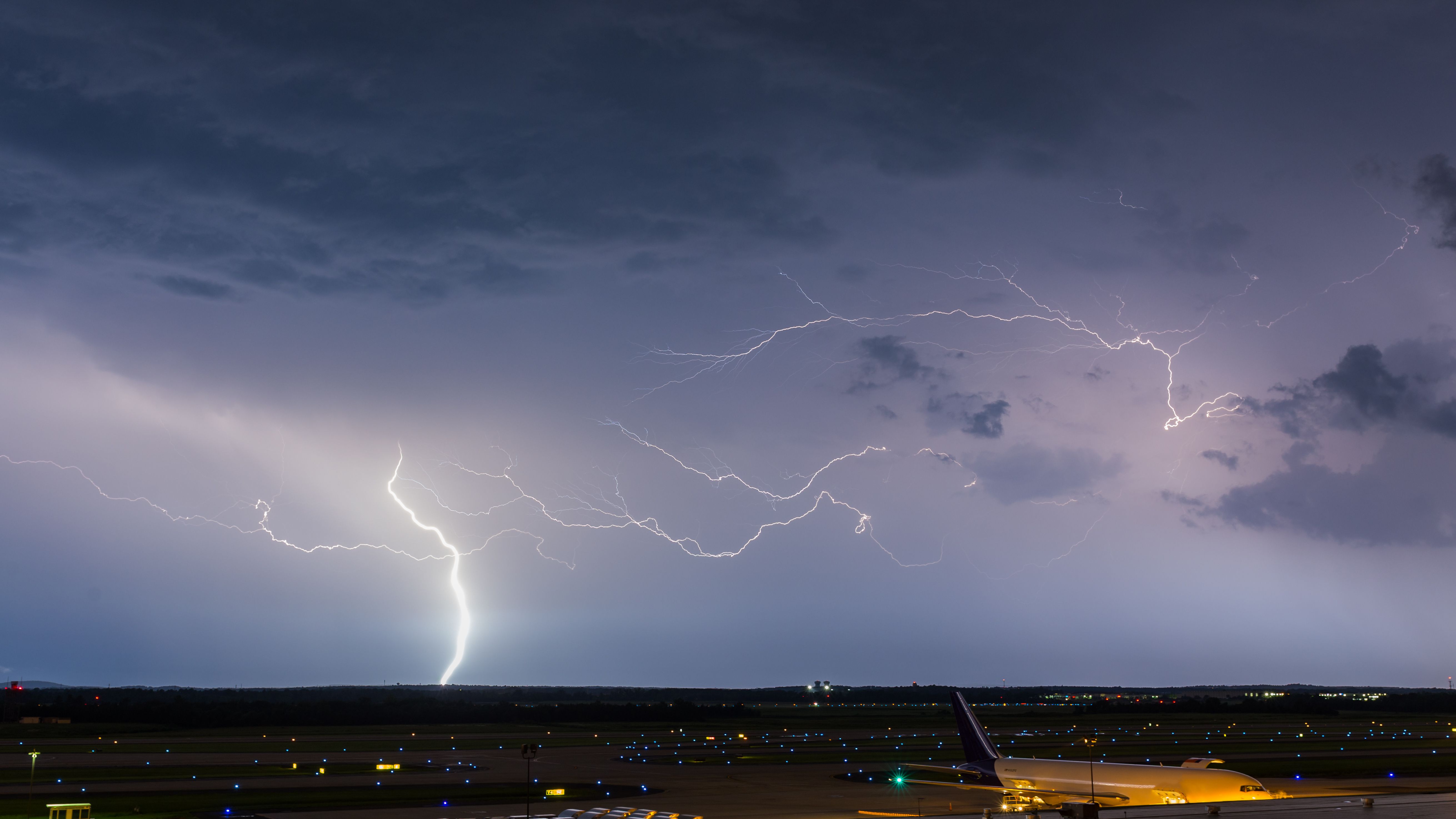
Also causing convective turbulence: Thunderstorm clouds towering tens of thousands of feet. According to a University of British Columbia (UBC) course, “Weather for Sailing, Flying & Snow Sports” by Roland Stull,
Thunderstorms are convective clouds, which means they are driven by the buoyancy of warm rising air inside the cloud. Turbulence is the name for random gusty fluctuations (vertical and horizontal) of the wind. Turbulence usually consists of a lot of different-sized swirls of air motion (called eddies) superimposed on each other.
Then there’s clear air turbulence. Clear air turbulence, according to the same UBC course, occurs from warm air meeting cooler air close to the jet stream. Clear air turbulence forms like pancakes, so changing altitude is a suitable means of avoiding clear air turbulence.
These are the main types of turbulence. Another source of turbulence is wake vortex turbulence which comes from an airplane’s wings slicing through the air. That’s why air traffic control keeps aircraft spaced significantly apart in commercial flights. You can read more about the causes of turbulence here. Rest assured, the above is not an exhaustive list.
But the above does not explain how most turbulence is found and reported on. Pilots can find turbulence in their flights either via weather radar or by flying through it - and reporting back.
Using weather radar
Yes, weather radar can help predict convective turbulence and clear air turbulence. Most commercial aircraft now pack weather radar – from the Airbus A321 to the Boeing 777. Weather radar can pick up weather systems sufficiently ahead to warn of precipitation and turbulence, allowing the fast-moving aircraft to divert in time to equally protect the humans and the aircraft. One can read more about how weather radar works here.
Nonetheless, as an aircraft’s weather radar has only so much range, requiring sharper turns to respond, there is another way to detect turbulent weather ahead when inadequate forecasting. This means allows aircraft to make softer turns while responding to real-time conditions.
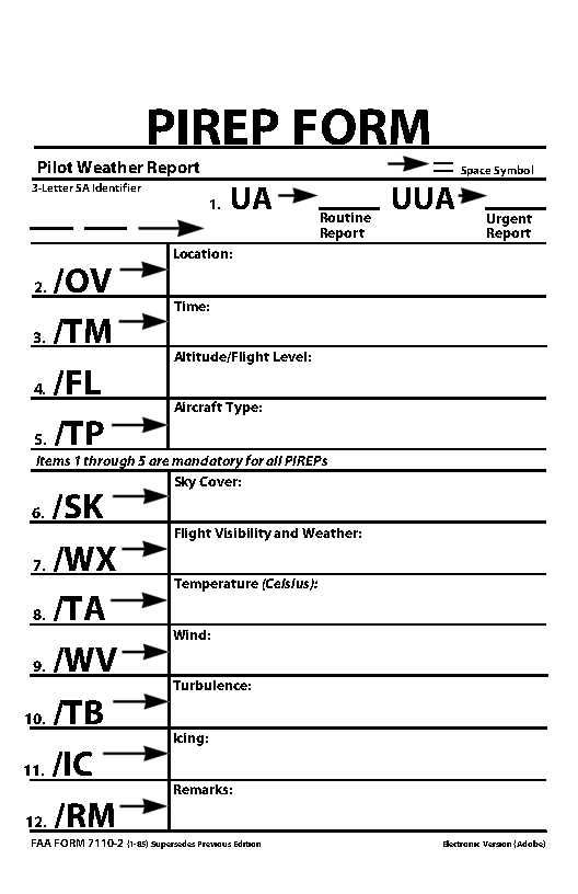
Pilots file reports or PIREPS
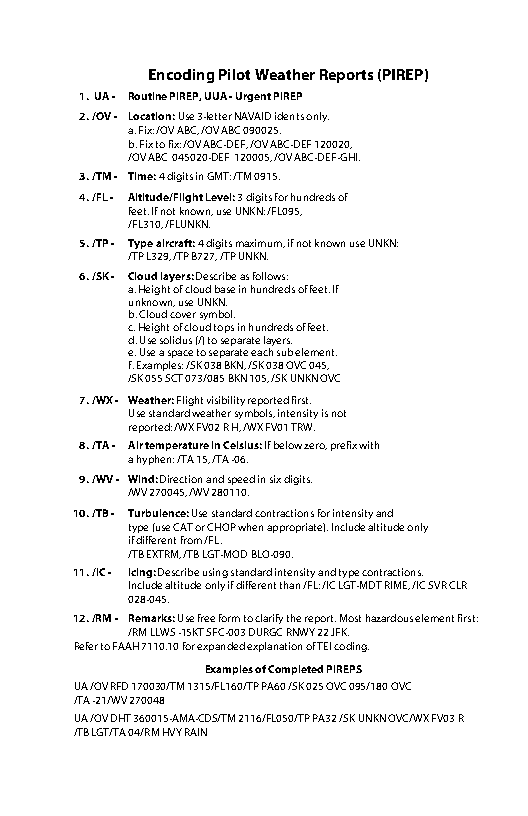
Namely, pilots informing other pilots. This is done by PIREPS, or pilot reports filed from one airplane to share with all the others airborne. Pilots file the reports to air traffic control, passing them on to nearby aircraft.
These reports give at least a few minutes of warning to advise the cabin to return to their seats and put on their seatbelts. The words are also fed into databases to warn other aircraft in the vicinity. Indeed, these reports can be extremely helpful in situations of clear air turbulence and several other kinds that may be hard to detect by weather radar or onboard equipment alone. The method is certainly old school but it works well. Indeed, it is the goal of airlines to avoid any kind of adverse weather wherever possible due to the dangers we looked at above.
Get the latest aviation news straight to your inbox: Sign up for our newsletters today.
IATA Turbulence Aware
The International Air Transport Association (IATA), or trade association for the world’s airlines, has set up its own turbulence early warning network called Turbulence Aware, which launched in late 2018. The system uses National Center for Atmospheric Research (NCAR) software in an aircraft’s avionics to – as per the IATA magazine Airlines on March 3, 2021:
Existing sensor data including true airspeed, angle of attack, and a few other parameters and uses these parameters to continuously calculate the Energy Dissipation Rate (EDR) . EDR is an official metric of the International Civil Aviation Organization and the World Meteorological Organization for measuring turbulence intensity. … Once the EDR value exceeds the pre-determined turbulence threshold, the software compiles a text-based report containing EDR value, aircraft position, altitude, time stamp, wind and temperature, which is automatically sent to the ground (via ACARS or broadband).
The EDR data is then inserted into the Turbulence Aware database to be shared with participating airlines. The airlines can transmit either via dispatch centers or directly via broadband the data to airborne aircraft. This software is useful for two main reasons, one is the automated sharing of data and the second is pooling of information. With 15 airlines currently signed up to the software, their flights will all feed back information to ensure turbulent routes are avoided or well prepared for. The real-time analysis of flight data takes away manual forms and reporting to offer a faster, automated system for the future.
From the perspective of Captain Patrick Burns, Delta’s Vice President for Flight Operations & System Chief Pilot, the software is a big step forward. He said,
"We struggled to mitigate the threat due to sparse coverage and the subjective nature of turbulence reporting...IATA’s Turbulence Aware platform enables open sharing of real time turbulence reports across the global airline industry, so we are no longer limited to turbulence reports generated only by Delta aircraft. By incorporating Turbulence Aware data into pilot, dispatcher and meteorologist tools Delta has realized benefits to safety, customer comfort, schedule integrity and efficiency."
Indeed, as more airlines sign up for the program, data will only increase and make flights safer across the network.
Aircraft are prepared
Turbulence is undoubtedly scary for any passenger, no matter how experienced. The last thing anyone wants is an aircraft violently shaking 35,000 feet in the air. However, you will be pleased to know that modern aircraft are tested for every weather eventuality, from tropical thunderstorms to freezing cold winds to lightning strikes and everything in between.
When encountering turbulence, the first thing to do is to follow all crew instructions, fasten your seatbelt, and move anything around the seat that is likely to fall. This includes closing the tray table and securing any loose items like a phone or charger. From there, just hold on as the pilots quickly clear the weather system and cruise on to your destination. If turbulence lasts long, flights may also be forced to suspend all inflight service until it is safe to resume, so no meal or bathroom breaks.
Conclusion
Ultimately, the need for turbulence warning increases as the risk of turbulent flight and thereby in-flight injury increases. The use of technology from radars to crowdsourcing via PIREPs to the Internet is greatly helping airplanes fly stable air to pass through to a successful flight. While there will never be a way to perfectly predict turbulence, modern technology is working hard to ensure the risk of injuries due to sudden turbulence is reduced as quickly as possible.
Did you find this article informative? Let us know in the comments.
Sources: University of British Columbia

